Our Evolution today

based on current epidemic
Following the recent Corona Virus pandemic, the Insurance industry in Nigeria has undergone numerous changes, forcing it to adopt lean models to reduce costs of geographically scattered operations.
Topclass Adjusters has evolved to become the exact layer of protection against the different types of changes in the industry by offering dynamic, highly elastic, and efficient response to claim assessment models for “Blue Sky” and Catastrophe events.
We provide a flexible resource when claims volumes surge, such as in a major catastrophe like a riot & malicious damage, storm, fire or flood.
Our claims process follows the same rules applied by top performing business giants, which is, “Making each experience better than the last.” That is why we spare no cost to ensure that we are constantly revaluating our processes in tandem with disruptive claim processing techniques.
based on claims
We understand that our claims process is of utmost importance in the outcome of a claim. Having studied the successful tactical responses exhibited by first responders during the Covid-19 pandemic, we understand that a lot of value comes from pre-planning the right level of responses. The pre-planning begins with acquiring the right information at the earliest possible point. This would enable us determine what resources would be deployed to effectively execute our assignment in record time. Pre-planning tactical responses would reduce the risks of incurring higher costs for insurers at the same time enable us to offer the Topclass Experience of World-Class claim handling processes.
Our landmark operational processes include the following:
Investigations within LAGOS STATE:
1. Swift and prompt reply of e-mails within 10 minutes of receipt.2. Carry out adequate inspections within 24 hours of instruction.
3. Issue preliminary report within 36 hours (1.5 days).
4. Issue final report within 120 hours (5 days) of instruction.
Investigations in Other parts of Nigeria
1. Swift and prompt reply of e-mails within 10 minutes.2. Carry out adequate inspections within 36 hour of instruction.
3. Issue preliminary report within 60 hours (2.5 days) of instruction.
4. Issue final report within 144 hours (6 days) of instruction.
Investigations outside Nigeria:
1. Swift and prompt reply of e-mails within 10 minutes.2. Carry out adequate inspections within 36 hour of instruction.
3. Issue preliminary report within 60 hours (2.5 days) of instruction.
4. Issue final report within 144 hours (6 days) of instruction.

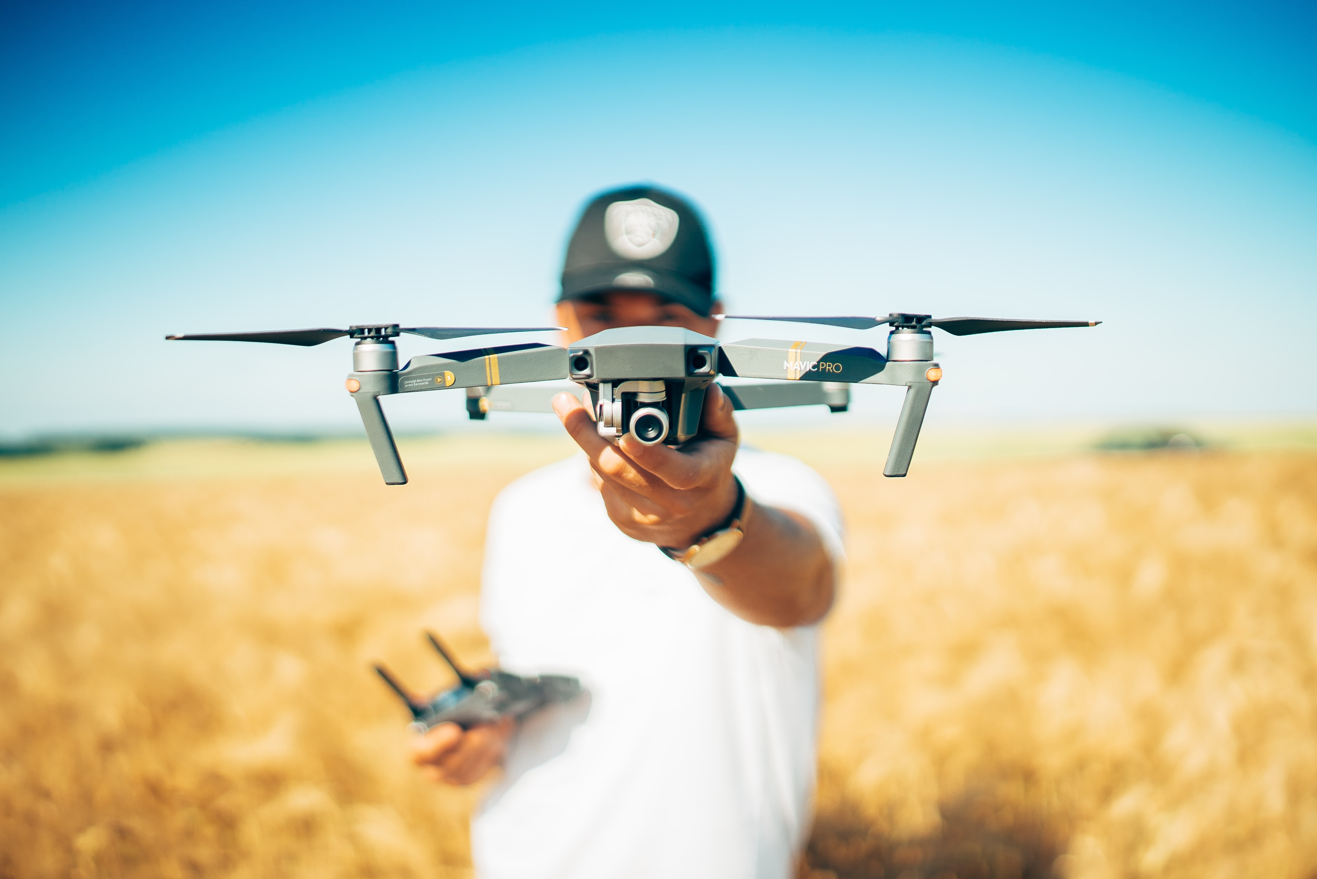
of our Drone Technology:
We shall introduce the use of Drone technology with a practical Case study of loss to a pile of industrial chemicals stored in the open which we handled for an insurance company. Insurer: XYZ Insurance. Insured: ABC Manufacturing Plc. Claim No: N/A Policy No: N/A Cause of Loss: Damage to wallfence and loss of raw material stock pile.
We were instructed to adjust a claim for XYZ Insurance It involved a mass of stockpile of raw materials that was washed down during a flashflood caused by heavy rainfall. Masses of the stockpile poured into a networks of gutters and eventually was washed away in a river. Following the loss, there was a need for volumetric analysis to determine the volume and weight of stockpile lost during the flashflood. The insured’s environmental surveyors employed a survey method called which involved the use of DGPS technology (Differential Global Positioning System (DGPS). This traditional method requires that the surveyor would take measurements at points of undulations around the dump. After which a Digital Terrain Model (DTM) is plotted to generate points of undulations around the pile. This requires a software which uses the principles of a GPS satellite system. The software functions as a ground receiver and it comprises of base station and the rover which is used to move round to pick out the points of undulation. However, these points of undulations are a rough approximation of the surface area of the pile. From our investigations, a limiting factor to this technique is that it does not take the underlying slope into account, or the size of the particles and the spaces between them. Also, not all the points on the dump are taken into consideration, only areas of conspicuous undulations are marked out. Other factors that limit this method include;
• Human error,
• inefficiency of the Differential GPS software and,
• Elements of weather.
From our inquiries, this method entertains a percentage error between 5-10%.
OUR PROPOSITION
We proposed to the insured and insured’s surveyor that due to the percentage error associated with the technology he utilized (i.e. (Differential Global Positioning System, DGPS), it would be mathematically incorrect to accept their data. The survey would have to be retaken by a surveyor using a more accurate methods of data capture.
Drone Technology:
With the introduction of drone technology, data processing can be more accurate for volumetric measurements of stockpile. This technology makes use of a drone photogrammetry software or construction mapping software for stockpile volumetric measurement. By applying the photogrammetry workflow with advanced software, an analyst can achieve near-perfect measurement accuracies for stockpile volumes. A photogrammetric survey with a fine ground sampling distance (GSD, which indicates the actual distance each pixel represents) is able to better describe irregular stockpiles in detail, than using Laser Technology and DGPS technology. The drone photographic system captures more detail than shooting points with a rover. The drone maps contain millions of data points, compared to the hundreds of data points of generated by the Laser technology and the few hundred points obtained through traditional survey methods. The difference with surveying stockpiles with a drone is that it can capture all the irregularities in a stockpile and accurately renders them in a survey, thus allowing the computer to calculate the volume of the true shape, and not just a rough approximation. Drones are able to capture both horizontally and vertically (Z-axis values), and render higher resolution data. Correctly used, drones in conjunction with ground control software can produce 3D surveys with minimal percentage errors. Some of the advantages of using a drone system are that;
i. Drone-based volume measurement allows for faster computations than traditional DGPS technology.
ii. The rapid bulk stockpile inventory measurement by Drones helps with scheduling operations and loss control management, saving valuable time in records taking.
iii. Accurate stockpile Reports’ system would assist the insured to make better decisions, faster inventory turn-around.
iv. Ensure better business planning by reviewing and sharing current and historical volume calculations, aggregates tonnage, and other stockpile data with the production and management team.
Engaging a foreign drone expert would have cost upwards of about
₦ 2,500,000.00 as against the traditional DGPS technology which cost
₦ 750,000.00. Nevertheless, it remains a more accurate method when compared to other available survey technologies. In a joint meeting held by all the parties concerned it was agreed that the traditional method which employed the use of a DGPS was inaccurate. A 5% percentage error was factored in and same was instrumental in reducing insurer’s outlay that amounted to millions of naira. Having identified a need in the Nigeria market, and the associated high cost of engaging a foreign pilot and operator, we acquired a fleet of drones and trained our employees in the art of drone piloting. Today with 3 drones to our fleet and counting, we promise to provide both Aerial footage, closer investigations, stockpile volumetric calculations etc. Topclass Adjusters as an adept claim adjuster, we have well updated IT officers who are technically trained to enable them key into our modern systems of technology. Using our Drone to capture high elevation of fire incident, marine, erosion, collapsed building, etc. We can collect imagery from areas that have little or no access to.